
Hydrogeologic Application of
Glacial Depositional Environments:
Part 2, Glaciofluvial and Glaciolacustrine
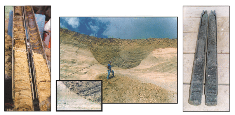
For ground water movement in water-lain sediments such as (Glacio)fluvial and (Glacio)lacustrine deposits, one important question is the degree of variability and heterogeneity of the sediment sequence. Some simple key indictors can lend insight in the field to unraveling the complexities and scale of deposition of water-lain sediments.
Equally daunting is when contaminants occur in highly variable fluvial or lacustrine sediments. Although High-Resolution Site Characterization tools have unique mapping advantages, there is no substitute for applying geologic context to glaciofluvial and glaciolacustrine deposits.
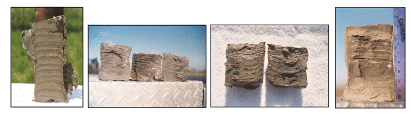
And finally, sedimentary variability of glaciofluvial and glaciolacustrine sediments can be seemingly impossible to predict in the field due to the thin nature of some bedding structures. However there are clues to be watching for in the field that lend information about marker beds for correlation from boring to boring that help take gigantic steps in unraveling facies correlation.
Related questions include:
- What to glaciofluvial and glaciolacustrine sediments look like?
- How does sedimentary structure identify each type of deposit?
- How does scale of deposition relate to the Conceptual Site Model?
- What strategies exist for concisely describing water-lain sediments on boring logs?
- Where should well screens be set to ensure they are monitoring the same unit?
- When do I lump or split soil classifications into facies models for water-lain glacial deposits?
- What are the strategies for depicting sorted sediments in Conceptual Site Models?
Geotechnical engineers face questions no less challenging. Soil suitability, it's range in properties, and heterogeneities / uniformities are each controlled by depositional processes. Predicting the nature of sediment from understanding deposition has proven much more reliable than hoping to find trends in N-values, excessive soils lab data, or even hoping to "match" soil classification between borings.
Related questions include:
- What clues help predict variability or uniformity of the subsurface?
- What is range in permeabilities beneath a site?
- What are the limitations of using soil classifications, soils lab data, or N-values for understanding the subsurface?
- How to I apply geologic content for unraveling hydrogeologic complexities?
- How do I successfully sample the sequence to maximize technical efficiency?
What does taking the mystery out of such complex subsurface conditions require? An understanding of glacial stratigraphy, glacial depositional environments, and the magnitude of any post-depositional weathering alteration.
This webinar, Part 2, provides techniques for identifying and understanding glacial depositional environments of water-lain fluvial and lacustrine deposits. Discover the processes of deposition that form ice-marginal and proglacial sediments and the implications for these sediments during hydrogeologic, environmental, and geotechnical projects.
"The training webinars are of high quality. They were easy to use... We projected our webinars to a large screen TV mounted on the wall in our conference room. We had good clarity for sound and picture...
The content was also appropriate. Personally, I liked the overall message that high quality soil boring logs are essential to better understanding of site characterizations. How can we adequately assess the nature & extent of environmental impact (and the selected remedial actions) without adequate site characterizations."
- Mark Nichter, US Army Corp of Engineers
 RECEIVE A FREE
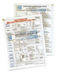
FIELD GUIDE FOR SOIL AND STRATIGRAPHIC ANALYSIS
with each registration.
Additional copies may be ordered for only $10 each
(plus shipping).
 OPTIONAL ADD-ON
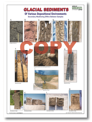
GLACIAL SEDIMENTS LAMINATED CHART (12" x 18")
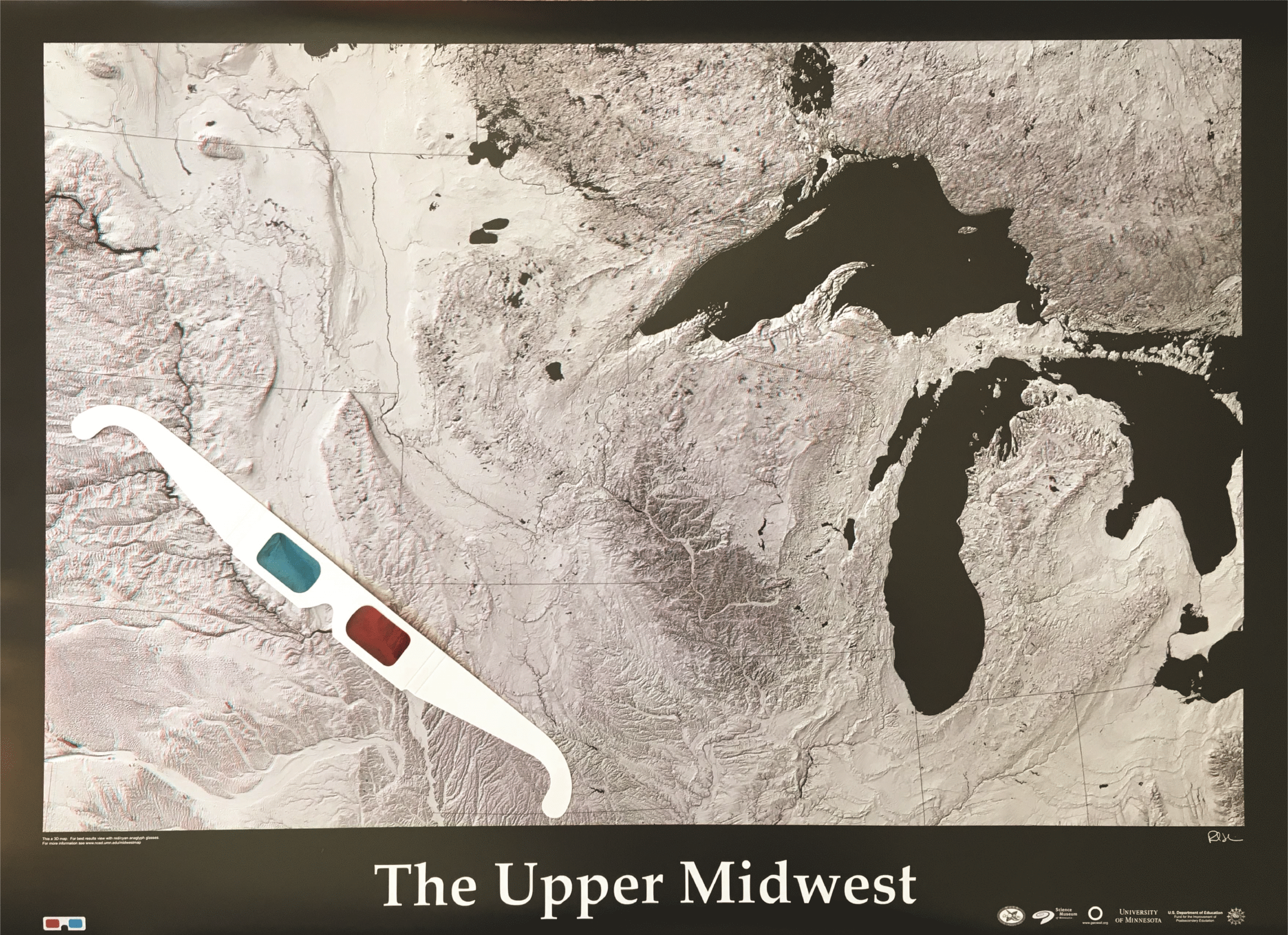 FREE 3D MAP
THE UPPER MIDWEST
Pay Only Shipping
Limit 1 Map per registration
Click Here for larger view
| Fee: |
299.00 USD Per Computer Site (unlimited participants per site)
249.00 USD Per Computer Site for our Members
99.00 USD Per Computer Site (unlimited participants per site)
when Members register for the Series:

(discount will be applied during checkout based on your cart)
Pay one site registration fee and an unlimited number of participants from your organization can attend at that site.
|
| Instructor: |
Tim Kemmis, PhD, PG |
| Handouts: |
Copy of Webinar Slides (pdf)
Record of Attendance Form (pdf)
|
| Duration: |
2.0 hour plus Q&A
(no restrictions on time limit for extra Q&A!)
|
Professional
Development: |
Earn 2.0 Professional Development Hours (2.0 PDH)
 |
A Record of Attendance Form is included free with each webinar for your record keeping and individual PDH verification. We ask your on-site coordinator to return the completed and signed copy of the Form to us following the webinar for (1) maintaining a separate copy as a service to attendees and (2) forwarding to NIU confirming attendance for those who order certificates.
Attendees may also order an official a Course Completion Certificate from Northern Illinois University for a small administrative fee. The Certificate is optional and may be ordered separately following the webinar to confirm your attendance and showcase the certificate on your office wall. Instructions for ordering certificates are given during the webinar.

* This webinar is eligible for the 'BUY THREE, GET THREE' discount; however ANY webinar series discount shown above cannot be combined with it.
Attendees will be invited to actively participate during this live and interactive on-line web seminar. Discussion is planned following the webinar for those who want to continue the session. Bring your questions to the webinar and present them to the instructor and other participants for exploring the best solution.
Instructors Bio
Tim Kemmis, PhD, PG
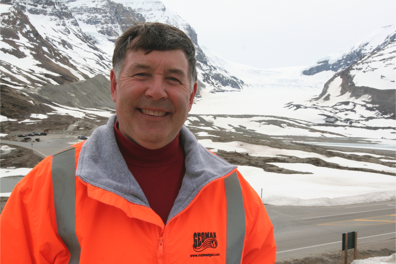 Tim Kemmis, PhD, PG is a Senior Hydrogeology Consultant and Project Manager for large-scale hydrogeologic investigations. His unique experience as both an applied researcher and consultant has enabled Tim to effectively teach staff at all levels how unravel sedimentary complexities by making fundamentally sound observations, preparing complete and accurate boring logs and confidently correlating geologic units.
Tim received his bachelor's degree in agricultural soil science from the University of Illinois and his master's degree in glacial geology while working as a graduate assistant at the Illinois State Geological Survey.
He worked 14 years for the Iowa Geological Survey, during which he received his Ph.D., and where he:
- Carried out glacial sedimentologic investigations
- Remapped the Des Moines Glacial lobe
- Established the formal glacial stratigraphy for the lobe based on depositional environments
- Discovered a new type of hummocky glacial topography
- Determined the geometry and origin of jointing in glacial tills
- Developed a lithofacies code to decipher the history of glacial outwash and alluvial sequences
Tim is a co-founder of Midwest GeoSciences Group and has successfully taught many courses and webinars dedicated to improving boring logs and helping geologists think on their feet.
